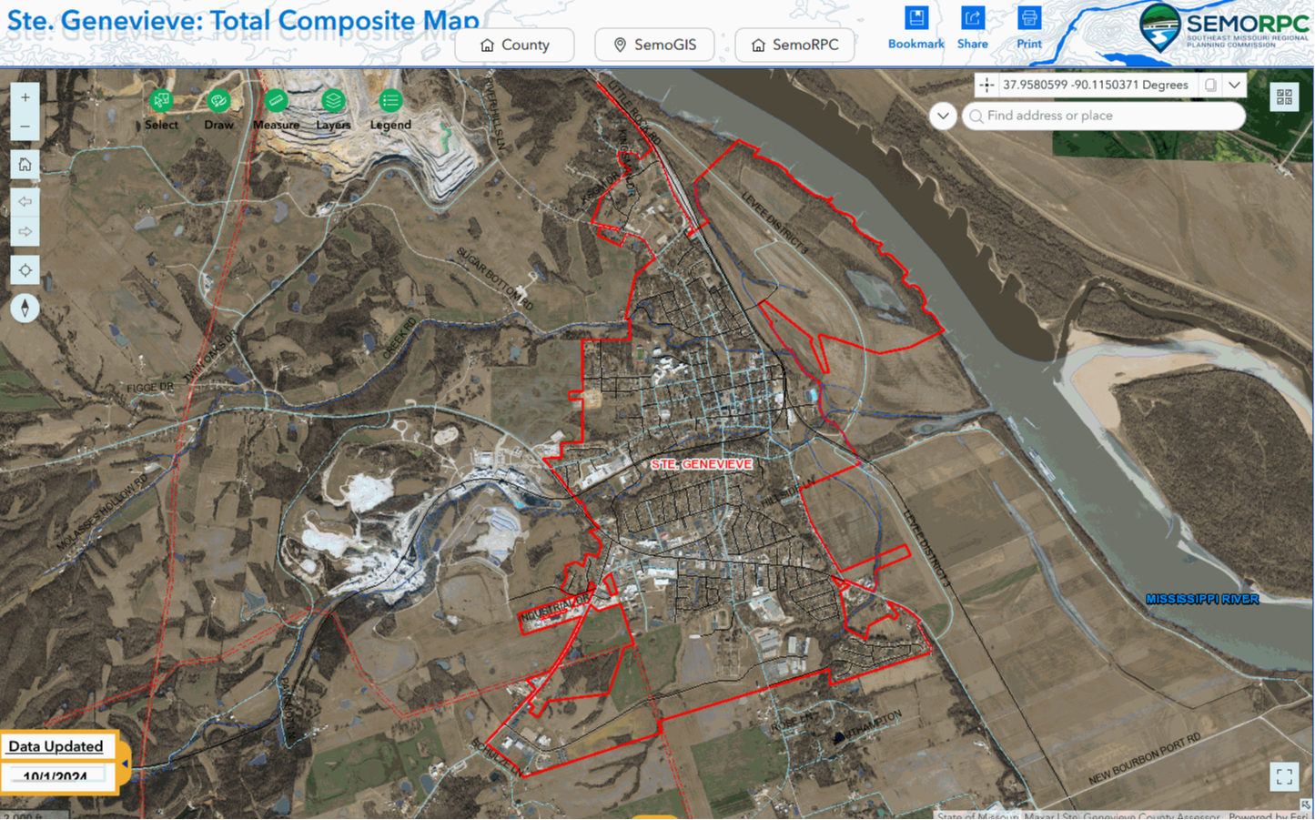
Find GIS Information
The City works closely with SEMO Regional Planning Commission to collect GIS information about zoning, the historic district, city limits, floodplain, and more. Click on the map link below to explore City of Ste. Genevieve GIS mapping information. (You must click cancel to bring the map up)